Teaching
GLY 200: The Dynamic Earth
In this course, we’ll learn about the earth’s origin and the large-scale structure of the Earth; the formation of mountains and explosive processes like volcanoes and earthquakes; and how water, glaciers, and mass wasting can shape the landscape. Includes an optional field trip to explore the geology surrounding Huntington, West Virginia.

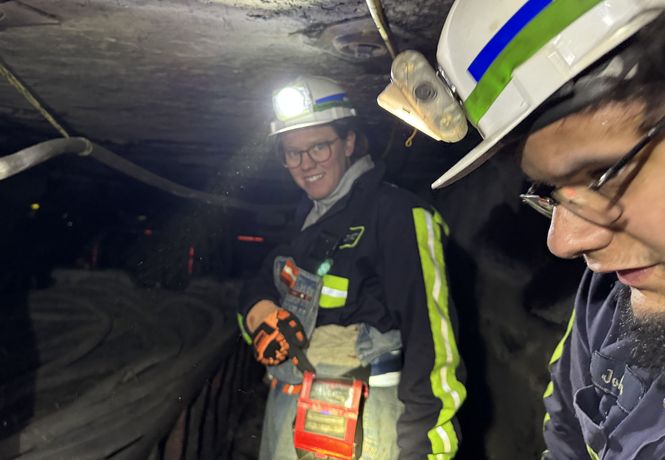
GLY 212: Geologic Field Methods
This course introduces fundamental geologic field methods using the geology of West Virginia. Much of the classroom and lab time will be spent outdoors at geologic field sites. Students will learn methods of geologic map interpretation and construction, cross-section preparation, qualitative and quantitative data collection, and basic ArcGIS mapping. Includes field trips (1-2 all-day weekend trips) and laboratories.

GLY 313: Structural Geology
This course explores geologic structures, including their history, 3-D relationships, and the stresses that cause them. Structural deformation results from events as fast as an earthquake and as slow as the erosion of mountain belts; takes place at scales ranging from the continental to the atomic; and occurs at all levels of the lithosphere, from the crust to the mantle. Includes Labs and a weekend field trip.

GLY 330: Tectonics
This course provides an overview of tectonic theory. We will explore the development of tectonic theory, the driving mechanisms of plate tectonics, and tools used for imaging the Earth’s internal structure and measure plate motion. Students will read, discuss, and present scientific literature and independently explore a particular tectonic plate in detail. Course satisfies writing-intensive requirements.

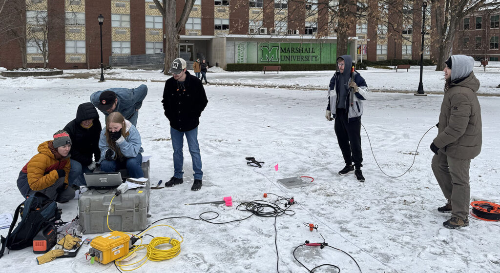
GLY 426: Applied Geophysics
Our goal in this class is to use a variety of geophysical methods—ground penetrating radar, gravity, magnetics, and seismology—to image the Earth’s subsurface structure. These approaches are useful not just for answering geologic questions: they can also be applied outside geology to find artifacts at archeological sites; to manage clean-up at Superfund sites; and to locate clandestine graves, buried evidence, or hidden objects.

GLY 427: Fossil Fuels
Origin and distribution of coal, with a focus on metallurgical coal resources. Oil and gas sources, reservoirs, traps, and the methods of exploration and reserve evaluation.
Future Courses
GLY 170 Geology of the National Parks
This introductory geology course focuses on tectonics, natural hazards, and landscape development, with examples drawn from National Parks. A mid-term-break field trip to a national park (TBA) will provide a hands-on experience of geology in the field.

Past Courses
Courses I have taught in the past, so if you have questions or would like materials…

Geol 3650. Field Camp
Auburn University
Lets go see some rocks!

Geol 7600. Petrology
Auburn University
Hmm…Rocks!

Geol 7200. Tectonics
Auburn University
Moving Rocks!

Geol 6400. Principles of Earth Science
Auburn University